What it is
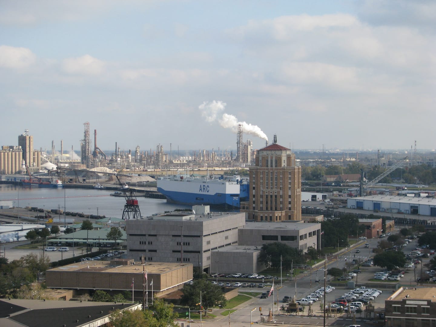
The Port of Beaumont is a deep-water port on the Neches River, connected to the Gulf of Mexico by the Sabine-Neches Waterway. It is governed by the Port of Beaumont Navigation District of Jefferson County, a public entity the Texas Legislature established in 1949; port operations in Beaumont date to the early twentieth century.
Tonnage and cargo
The Texas Comptroller's port profile describes Beaumont as ranking fourth nationally in tonnage, handling well over eighty million tons of cargo a year in the year that profile covers. Its trade mixes energy products, project and bulk cargo, and grain. We cite these figures to the Comptroller rather than presenting live numbers, and we do not display real-time vessel or cargo data. For current operations, go to the port.
A military port
Beaumont's national significance is largely military. The Comptroller's profile calls it the busiest military port in the world and notes that it hosts a U.S. Army transportation battalion. It is one of a limited set of strategic commercial seaports the Department of Defense relies on to move equipment. (It is a distinct facility; it has no connection to the similarly named Military Ocean Terminal Sunny Point in North Carolina.)
Economic weight
A more recent Texas Comptroller economic-impact study, released in late 2025, put the port's annual economic impact in the tens of billions of dollars and associated it with roughly 157,000 jobs for 2024. Figures like these depend on methodology and change year to year, so treat them as the state's estimates and follow the source for the current numbers.
Official and reference sources
- Official sourcePort of Beaumont ↗The port authority's own site for operations, tenants, and current activity.
- ReferenceTexas Comptroller: Port of Beaumont profile ↗State profile: tonnage ranking, cargo mix, and the military-port description.
Related: how freight reaches I-10 and the river and the lift bridge.