Beaumont, Texas · independent field guide
A working junction of stage, ship, rail, and highway.
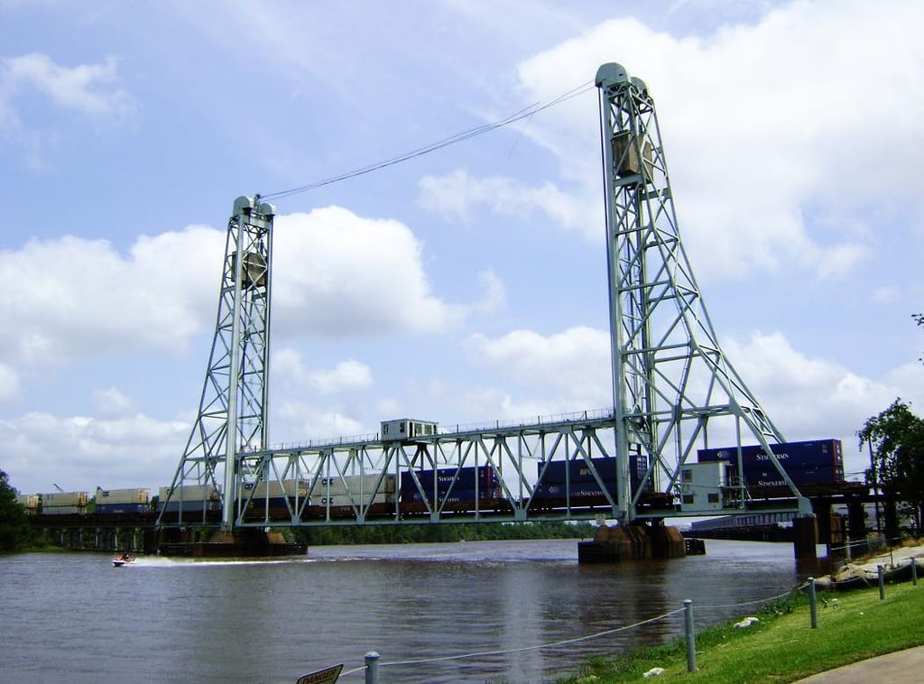
Beaumont is best understood as a place where systems meet: a downtown of historic theatres, a deep-water port on the Neches River, a lift bridge that still carries freight, and the I-10 corridor that moves people out ahead of Gulf storms. This atlas maps those pieces and points you to the official source for anything that changes.
Start with a system:
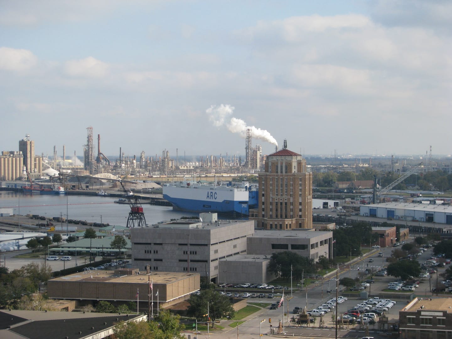
Three ways into the city
- 1Civic Places
Theatres, the civic center, event halls, and the riverfront, with official booking and access sources.
- 2Freight & Roads
The port, the I-10 interchange, live traffic, and hurricane evacuation sources.
- 3History & Safety
How Spindletop, rail, and the port built the modern city, and where safety instructions come from.
Civic places
Where Beaumont's public life happens
The former Beaumont Civic Center Complex earned its reputation on these stages. This atlas keeps the history and the practical access notes, and sends you to the City and its booking service for anything live.
Start here
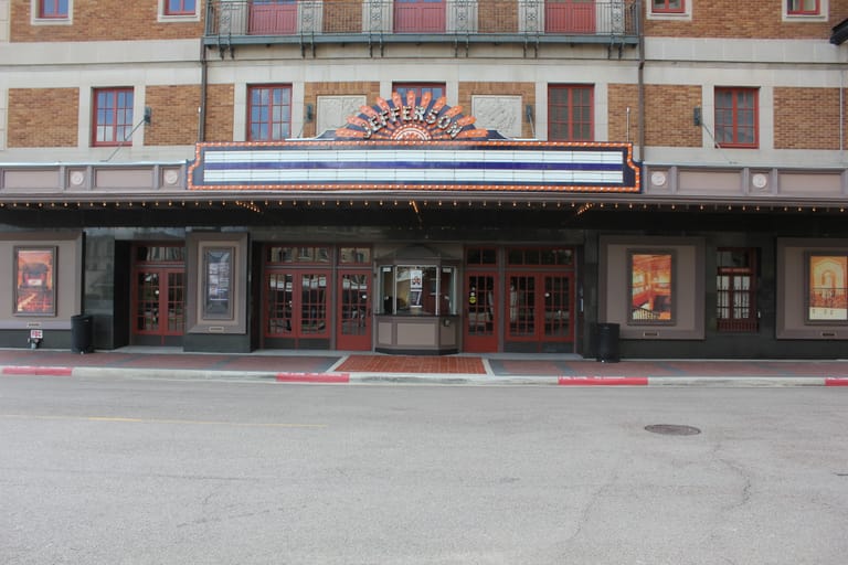
Jefferson Theatre
A 1927 Renaissance Revival theatre by architect Emile Weil, restored and reopened in 2003, still home to its original Morton pipe organ. Its sunburst marquee gives this section its circle. Read the independent history and access guide.
Julie Rogers Theatre
Built in 1928 as Beaumont's City Hall and Auditorium; renamed in 1980 and now a performing-arts hall.
Beaumont Civic Center
The city-owned arena and exhibit hall at 701 Main Street, booked through the City's event service.
Downtown Event Centre
A lakefront event hall at 700 Crockett Street overlooking an on-site lake and the Great Lawn.
Riverfront Park
The Neches River park beside the lift bridge, reopened in 2025 after Harvey-era flood damage.
Freight & roads
Follow the freight, then follow the official map
Beaumont moves cargo by ship, rail, and truck. We explain how the port, the rail crossings, and the I-10 interchange fit together, and then hand you to the sources that actually carry live conditions. This site never simulates a live map, camera, or traffic chart.
Start with these
Task-first guides
- Civic placeFind your way to the Jefferson TheatreHistory, the 1927 building, and where to reach the official box office.
- Before you driveCheck current Beaumont traffic and closuresThe official TxDOT camera and road-condition tools, not a simulated map.
- Storm seasonUnderstand hurricane evacuation routesWhere the official evacuation and contraflow instructions actually come from.
- FreightSee why the Port of Beaumont mattersA military and cargo port explained with state and port sources.